At Airbus, we aim to support academic institutions by providing access to the highest resolution commercial satellite imagery in the market.
OneAtlas provides reliable and up-to-date satellite imagery to help empower users to understand what's happening on the ground and help make informed decisions.
Universities and students can now get access to the Living Library, our premium archive of imagery, with flexible pricing and usage.
Living Library subscription options*:
Satellite imagery from our multi-resolution optical archive (Pléiades 0.5m & SPOT 1.5m resolution).
Option A - 30 GB:
Option B - 50 GB:
Customized options for larger packages are available upon request.
Data is interoperable with all leading GIS software providers.
*Offer applicable for Academic Licences only.
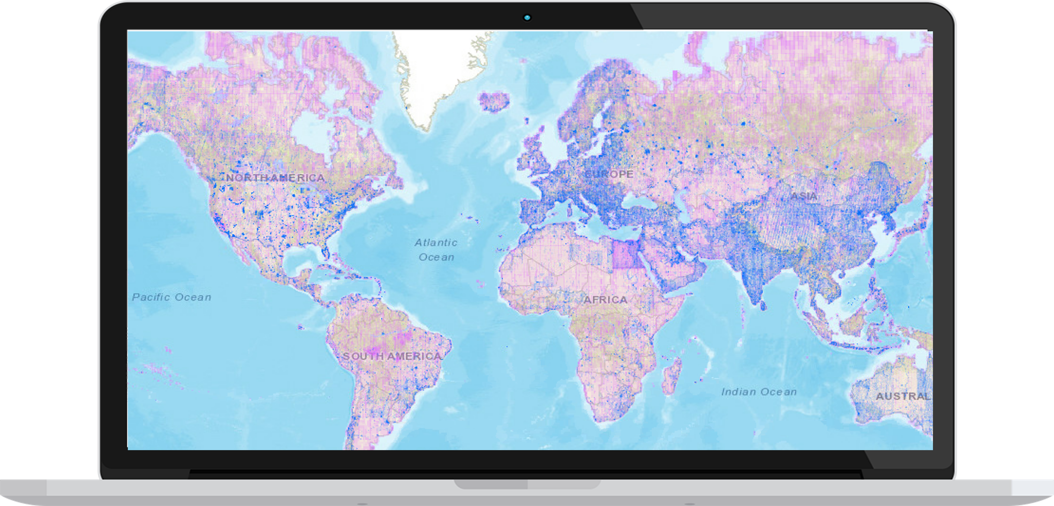
Check archive coverage:
Want to check the available archive coverage over your area of interest before you begin? Discover our archive coverage here.
You can also sign up for a free 30-days trial by clicking here.